April 15, 2023, 13:11: Earthquake at Campi Flegrei
Earthquakes with magnitude 1.7 felt at 13:11 on 15 April 2023.
Place: Campi Flegrei.
On Saturday 15 April 2023 at 13:11 an earthquake of magnitude 1.7 and depth 4.4 km was recorded in Campi Flegrei. Further info on the INGV webpage
by clicking here.
Based on the depth of the hypocenter, earthquakes are
classified into superficial
(hypocenter between 0 e 70 and deep), intermediate (Hypocenter between 70 and 300 km deep) and
deep
(hypocenter between 300 and 720 km deep). The earthquake that occurred at 13:11 on 15 April 2023 with epicenter Campi Flegrei, having a depth of 4.4 km is therefore classified as superficial.
Being of magnitude 1.7, therefore less then 2.0, this earthquake is classified as "micro", as not felt by the population.
Credits: data from INGV, Istituto Nazionale di Geofisica e Vulcanologia, ingv.it
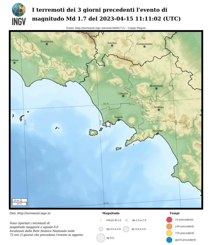
Seismicity in the 3 days preceding the event
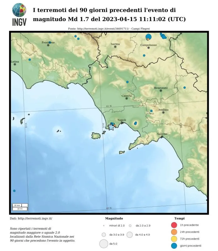
Seismicity in the 90 days preceding the event (M≥2)
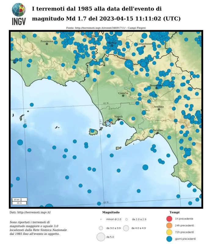
Seismicity from 1985 (M≥3)
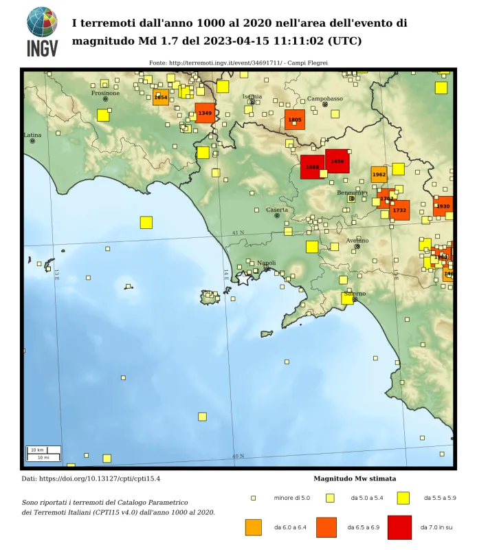
Seismicity from 1000
Intensity Shakemap

Peak ground acceleration
Peak velocity Shakemap